
Plaetje:Kashmir region 2004.jpg

Gruutde van dees veurvertuining: 604 × 599 pixels. Anger resoluties: 242 × 240 pixels | 484 × 480 pixels | 774 × 768 pixels | 1.032 × 1.024 pixels | 1.579 × 1.567 pixels.
Oearsprunkelik bestandj (1.579 × 1.567 pixels, besjtandjgruutde: 1,71 MB, MIME-type: image/jpeg)
| Besjrieving |
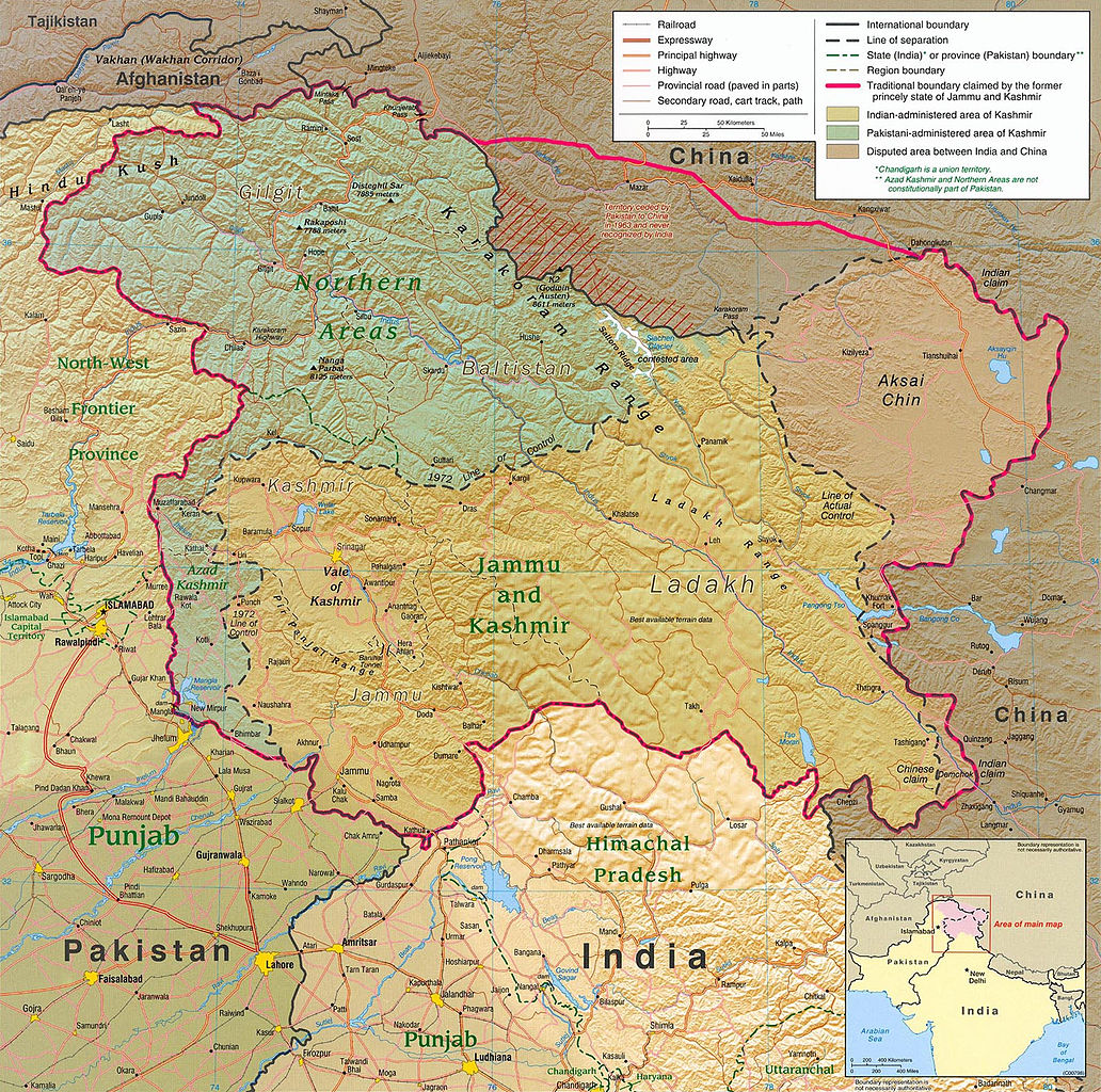
English: Kashmir Region 2004 |
|||
| Datum | ||||
| Brón | http://www.lib.utexas.edu/maps/middle_east_and_asia/kashmir_region_2004.jpg | |||
| Sjriever | CIA | |||
| Permissie (Hergebroek van dit besjtandj) |
|
|||
| Anger versies |
 .jpg)
|


Besjtandjshistorie
Klik op 'ne datum/tied om 't besjtand te zeen wie 't destieds waor.
| Datum/tied | Miniatuurplaetje | Aafmaetinge | Gebroeker | Opmirking | |
|---|---|---|---|---|---|
| hujig | 6 jun 2010 23:45 | | 1.579 × 1.567 (1,71 MB) | Ras67 | slightly rotated and cropped |
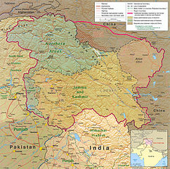
| 7 mie 2006 20:46 |  | 1.616 × 1.623 (789 kB) | Jungpionier | Kashmir Region 2004 Source URL: [http://www.lib.utexas.edu/maps/middle_east_and_asia/kashmir_region_2004.jpg]. {{PD-USGov-CIA}} |
Bestandjsbroek
Dit besjtandj weurt op de volgende pagina's gebroek:
Globaal besjtandjsgebroek
De volgende anger wiki's gebroeke dit bestandj:
- Gebroek in af.wikipedia.org
- Gebroek in ang.wikipedia.org
- Gebroek in ar.wikipedia.org
- Gebroek in arz.wikipedia.org
- Gebroek in azb.wikipedia.org
- Gebroek in az.wikipedia.org
- Gebroek in be-tarask.wikipedia.org
- Gebroek in be.wikipedia.org
- Gebroek in bg.wikipedia.org
- Gebroek in bh.wikipedia.org
- Gebroek in bn.wikipedia.org
- Gebroek in br.wikipedia.org
- Gebroek in ca.wikipedia.org
- Gebroek in cdo.wikipedia.org
- Gebroek in ckb.wikipedia.org
- Gebroek in cs.wikipedia.org
- Gebroek in da.wikipedia.org
- Gebroek in de.wikipedia.org
- Gebroek in de.wikinews.org
- Gebroek in diq.wikipedia.org
- Gebroek in el.wikipedia.org
- Gebroek in en.wikipedia.org
Bekiek wikiwied gebroek van dit bestandj.